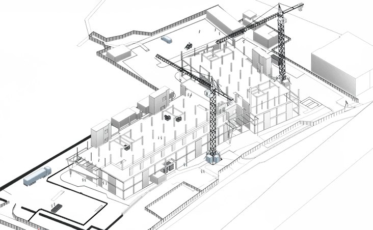
Aerial Surveys & Inspections
Aerial surveys use drones (UAVs) equipped with LiDAR, RGB, and multispectral sensors to capture high-resolution data for accurate site mapping, monitoring, and inspection. This method allows for the safe and efficient surveying of large or hard-to-reach areas, reducing costs and time on site. By delivering real-time insights, drone surveys support smarter decisions across design, construction, and maintenance projects. The result is improved efficiency, safety, and project visibility across a wide range of industries.

Methodology
With a fleet of over 20 drones, we offer the right airframe and payload for any aerial surveying or inspection task. Since our inception, we’ve proudly operated under Civic Aviation Authority (CAA) approval for commercial operations, maintaining a flawless safety record. Our team of experienced pilots brings a wealth of knowledge, continuously refining flight techniques and data capture workflows to ensure precision, reliability, and efficiency on every project.
01
We begin with a detailed brief review and desktop site assessment, evaluating airspace restrictions, site-specific constraints, and weather conditions. Based on this, we select the most suitable drone hardware and propose optimal flight timeframes. We also arrange site access and actively monitor NOTAMs and last-minute weather updates to ensure safe operations.
02
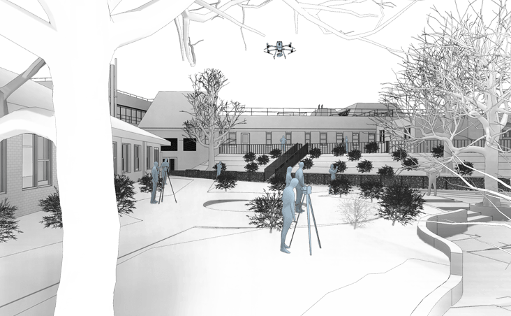
Upon arrival, our pilots conduct a thorough check-in procedure and establish a controlled take-off and landing zone to ensure safety and privacy. All flight operations are carried out in accordance with CAA guidelines. Once data collection is complete, equipment is safely packed, and the team checks out with the site manager.
03
Back at the office, we process and review the captured data against the project brief. Where required, we apply colour correction, cropping, or video editing to optimise outputs. All deliverables are then shared securely via a Common Data Environment (CDE) for easy access and collaboration.
Benefits
Rapid Data Collection Over Large Areas
Drones rapidly capture high-resolution imagery and geospatial data, ideal for surveying large or hard-to-access sites such as roofs, bridges, quarries and infrastructure corridors.
Minimised Risk and Downtime
By removing the need for scaffolding, rope access, or plant, drones enable safe inspections of high-risk or live environments without interrupting site operations.
Versatile Outputs for Multiple Workflows
Drone surveys produce orthomosaics, 3D models, point clouds, and thermal maps—all easily integrated into CAD, GIS, and BIM platforms for planning, analysis, and asset management.
Need a project quote fast?
Get a personalised estimate within 24 hours, fill out our form today!