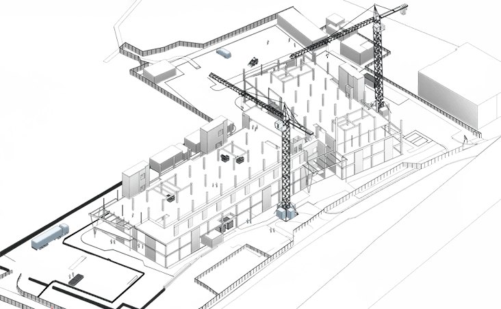
Land Surveys
Topographical Land Surveys provide precise mapping of a site's natural and man-made features, including terrain elevations, boundaries, and structures. Leveraging both traditional methods and advanced surveying technologies, these surveys capture accurate spatial data crucial for planning, design, and construction. By offering a clear understanding of a site's physical characteristics, topographical surveys enable informed decision-making, risk reduction, and ensure projects are built on solid, data-driven foundations.

Methodology
Our approach is meticulously aligned with RICS guidelines, ensuring professionalism and efficient execution at every stage. We combine expert surveying knowledge with cutting-edge technology to navigate complex environments with precision. Our surveyors adhere to the critical stages outlined below, guaranteeing accuracy and reliability throughout the project.
01
We begin with a thorough brief review, desktop site study, and the preparation of Risk Assessment and Method Statements (RAMS). This initial step allows us to evaluate the site remotely, identify potential risks, and plan survey logistics, including access, safety measures, network setup, and site-specific obstructions.
02
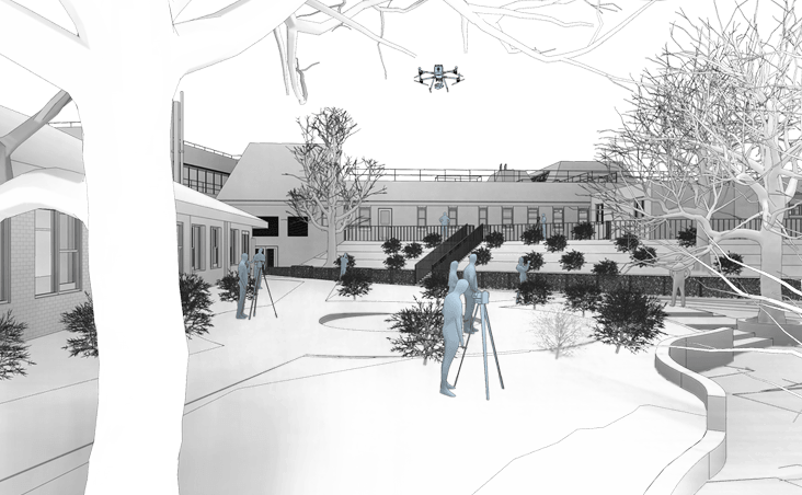
Our data collection process utilises advanced techniques, including Total Station surveying, GNSS surveys, aerial photogrammetry, and laser scanning to capture the complete scope of the site. All data is meticulously logged and securely transferred back to our office for processing.
03
Once processed, the captured data is mapped by a certified surveyor using AutoCAD software, detailing all key features such as land contours, structures, roads, pavements, and vegetation. The final deliverables are shared with the client through our Common Data Environment (CDE), ensuring seamless handover and real-time accessibility.
Benefits

Enhanced Design Precision
Topographical surveys provide precise measurements of natural and built features, giving architects and engineers an accurate site view that reduces design errors and costly construction changes.
Early Risk Mitigation
Topographical surveys reveal hazards, drainage, and elevation changes early, helping teams address risks before they cause delays or added costs.
Optimised Land Utilisation for Sustainable Development
Detailed terrain analysis enables strategic land use, balancing development needs with environmental preservation for sustainable, space-efficient planning.
Need a project quote fast?
Get a personalised estimate within 24 hours, fill out our form today!