Laser Scanning and Virtual Tours
Laser Scanning and Virtual Tours seamlessly integrate advanced laser scanning technology with immersive virtual experiences to produce highly accurate digital models of physical spaces. Laser scanning captures precise spatial data for measurements and documentation, while virtual tours enable stakeholders to explore environments remotely with interactive digital overlays. This technology is widely used in real estate procurement, construction progress tracking, and enhancing visitor experiences in cultural spaces.

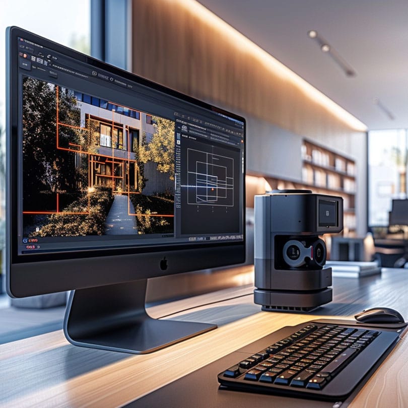
Methodology
Our reality capture process is tailored to the chosen laser scanning technology. For terrestrial scanning, equipment is tripod-mounted; photogrammetry involves capturing images while orbiting the asset, and mobile mapping collects data as the surveyor walks around the site. Despite the differences, our process is standardised into three clear steps for consistent accuracy and efficiency.
01
We begin with a comprehensive brief review, desktop site study, and the preparation of Risk Assessment and Method Statements (RAMS). This stage allows us to evaluate the building remotely, identify potential risks, and plan survey logistics, including access, safety measures, network setup, and site-specific obstacles.
02
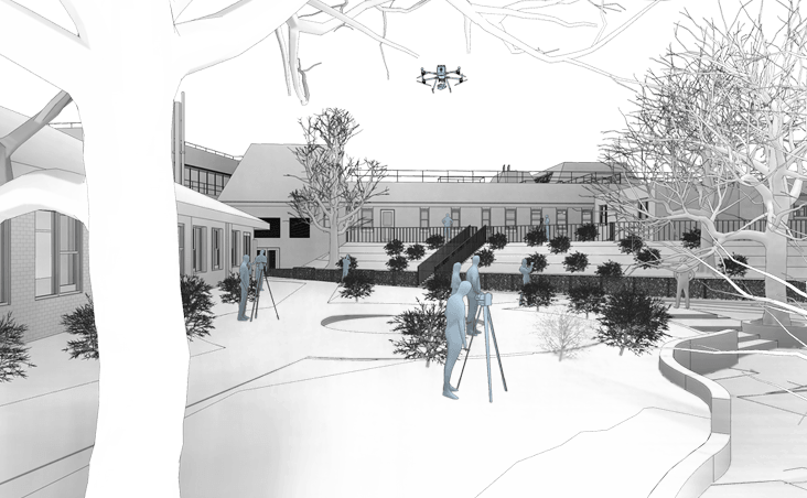
During the on-site phase, our team safely sets up equipment in designated zones before starting the survey. For terrestrial laser scanning (TLS), scanners are positioned at approximately 3-metre intervals. In cases of photogrammetry or mobile mapping, data is captured seamlessly as we move through each room. All collected data is then securely transferred to our office for processing.
03
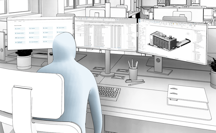
The processed data is hosted on cloud-based software of the client’s choice, enhanced with interactive digital overlays for intuitive exploration. Alternatively, the point cloud dataset can be shared through our Common Data Environment (CDE), providing seamless handover and real-time accessibility.
Benefits
Accurate As-Built Data
Laser scanning delivers millimetre-accurate 3D data for reliable as-built models, cutting design errors and reducing costly rework.
Remote Stakeholder Access
Virtual tours allow stakeholders to explore the site remotely, improving communication, expediting approvals, and reducing the need for time-consuming site visits.
Faster Project Delivery
Integrating laser scanning with virtual tours streamlines workflows, reduces site visits, improves design coordination and clash detection, and speeds up project delivery.
Need a project quote fast?
Get a personalised estimate within 24 hours, fill out our form today!