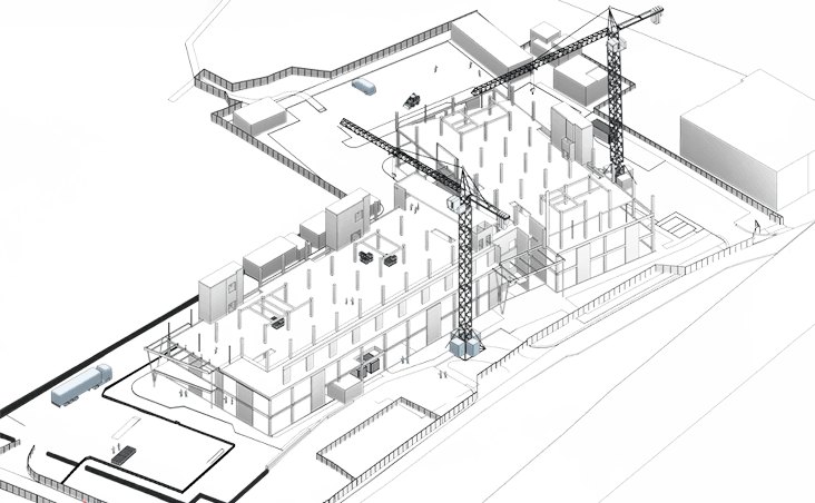
Geospatial Management
Geospatial Management is the systematic organisation, analysis, and utilisation of spatial and geographic data to support decision-making in sectors like urban planning, environmental monitoring, transportation, infrastructure, and emergency response. It leverages technologies such as Geographic Information Systems, Remote Sensing, Global Positioning Systems, and data analytics to capture, process, and visualise spatial data, enabling precise mapping and strategic planning.

Methodology
Backed by a diverse range of expertise, we simplify even the most complex surveying operations, expertly managing the entire geospatial data workflow. Our structured approach ensures precise, actionable data at every stage. Our process typically follows these key stages:
01
Every project begins with a clear understanding of its objectives and motivations. We assess available resources and coordinate with our trusted supply chain partners, ensuring each specialist contributes where they add the most value—creating a collaborative, purpose-driven foundation.
02
We deploy a tailored mix of surveying technologies and services to capture precise geospatial data. Once collected, the data is processed, federated, and thoroughly quality-checked before being shared with the broader project team.
03
In geospatial management, data alone doesn’t reveal the solution. Our experts apply analytical frameworks and visualisation tools to extract meaningful insights, identify optimal solutions, and clearly communicate outcomes to stakeholders.
04
Whether it’s smart city design, urban planning, or infrastructure development, we act as a strategic partner, advising on resource management, routing optimisation, and decision-making. Our goal: to deliver efficient, forward-thinking solutions tailored to each client’s needs.
Benefits

Improved Risk Assessment and Disaster Management
Real-time spatial monitoring and predictive analytics enable proactive risk management. Geospatial insights reveal flood zones, fire risks and disaster-prone areas, strengthening emergency planning and response.
Enhanced Decision-Making Capabilities
Geospatial management delivers actionable insights for urban planning, infrastructure, conservation and emergency response. Visualising spatial data empowers faster, smarter strategic decisions.
Operational Efficiency and Cost Optimisation
Geospatial intelligence streamlines project planning, logistics, and asset tracking. By integrating location-based analytics, stakeholders can optimise routes, reduce operational costs, and improve resource allocation across complex, distributed environments.


