Photogrammetry
Photogrammetry is the process of extracting precise spatial measurements from 2D images captured by handheld cameras or drones. Using principles such as triangulation and parallax, it determines the geometric properties of objects by analysing overlapping images. The result is a detailed 3D dataset that combines spatial and material information, widely used across the Architecture, Engineering, and Construction (AEC) industry to support enhanced analysis, visualisation, and inspection workflows.

Methodology
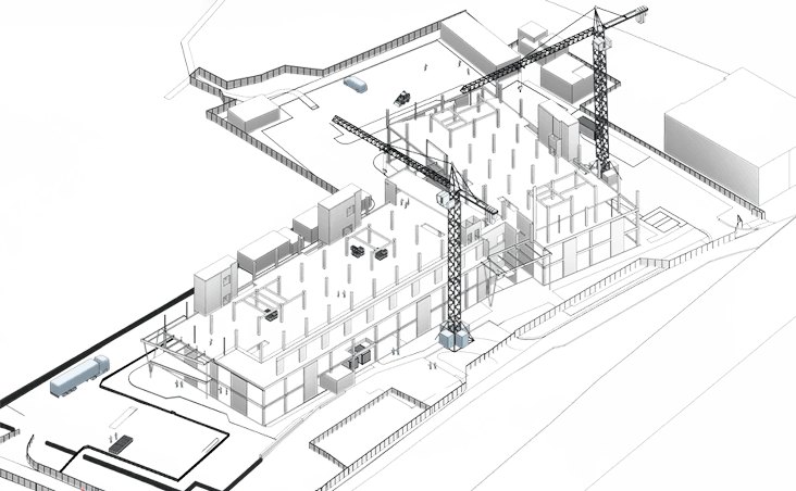
Our method for photogrammetry varies based on the level of detail necessary and the size of the object as the pixel resolution is commonly the key driver for the quality of the output. Whilst buildings and structures required drone with professional cameras, objects and artefacts can be commonly done using more cost effective hardware such as smartphones.
01
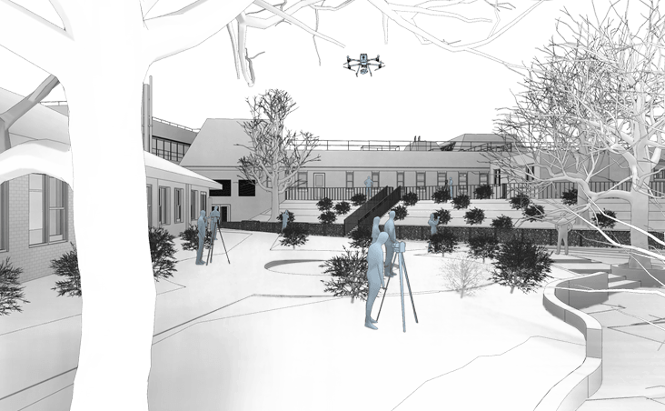
We begin with a comprehensive brief review, desktop site study, and preparation of Risk Assessment and Method Statements (RAMS). This stage enables us to evaluate the subject remotely, identify potential risks, define appropriate hardware, review safety protocols, and set accurate project timeframes.
02
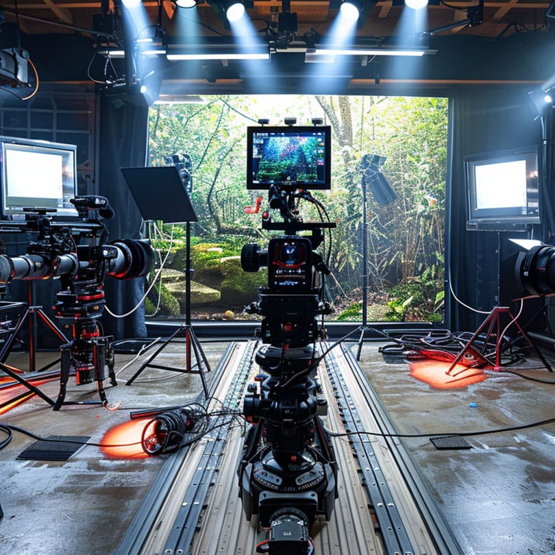
Upon arriving on-site, our specialists perform a methodical orbit of the subject, whether a building or artefact, capturing hundreds to thousands of high-resolution images with approximately 80% overlap. A higher image count and greater overlap result in a richer, more accurate dataset.
03
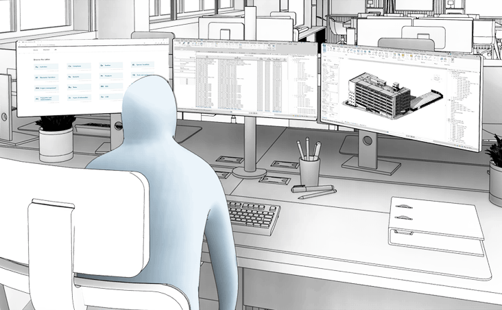
Processing the imagery is a meticulous step. We begin with colour correction and anomaly filtering, then process the dataset using tools like Agisoft Metashape, RealityCapture, or DJI Terra. Through photogrammetric triangulation, we generate a dense point cloud, followed by meshing and texturing workflows. Where needed, we enhance the model further using Blender for final 3D output.
04
Once finalised, the 3D photogrammetry models, and source images are hosted via our Common Data Environment (CDE) for secure access and collaboration. For projects involving defect inspection or annotation, we use platforms like Twinsity to tag and report specific points of interest, supporting robust project documentation and decision-making.
Benefits
High-Resolution Visual Context
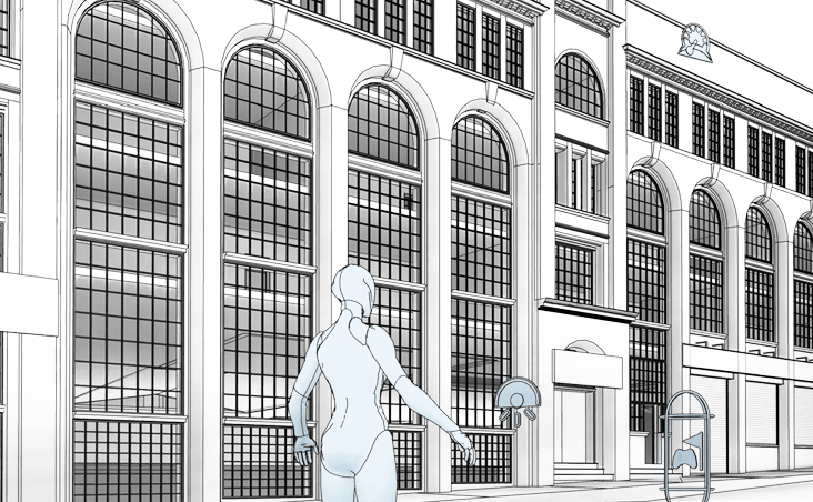
Photogrammetry generates photo-realistic 3D models that combine spatial accuracy with rich visual detail, ideal for presentations, inspections, and clear stakeholder communication.
Cost-Effective Site Capture
Photogrammetry uses standard cameras or drones to quickly and affordably capture large or hard-to-access areas, ideal for topographic surveys, facades and complex sites.
Flexible Data Integration
Photogrammetry outputs integrate smoothly with CAD, GIS and BIM platforms, supporting design, analysis and asset management with minimal processing.
Need a project quote fast?
Get a personalised estimate within 24 hours, fill out our form today!