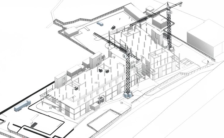
Underground Utility Surveys
Underground Utility Surveys use non-invasive technologies to accurately locate, and map buried services, including pipes, cables, and drainage systems. These surveys are essential for reducing the risk of accidental damage during excavation, ensuring site safety, and enabling more informed planning and efficient project delivery.

Methodology
We deliver accurate, non-invasive mapping of subsurface utilities using Ground Penetrating Radar (GPR), Electromagnetic Location (EML), and other advanced technologies. Our team detects and maps water, gas, electrical, and communication lines with precision. All surveys are fully compliant with PAS 128, ensuring the highest standards of accuracy, safety, and regulatory compliance in underground data collection.
01
This initial stage establishes the framework for the utility survey. It involves defining the project objectives, area of interest, survey extents, required confidence levels, and selecting appropriate survey types. The scope is aligned with project needs, such as feasibility studies or detailed design. Key outputs include the survey specification, risk assessments, and coordination with stakeholders to ensure accurate and safe execution.
02
Next comes a non-intrusive, desk-based exercise that compiles and analyses existing utility records from statutory undertakers and asset owners. These records are georeferenced and overlaid on base mapping to generate an indicative utility layout. The accuracy is low, as the data relies entirely on third-party records, and forms the foundation for further verification stages.
03
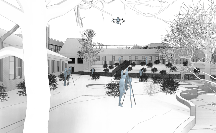
Then a surface-level survey conducted to validate and correlate the desktop records with physical site evidence. Surveyors walk the site identifying features like manholes, inspection chambers, valve covers, and signage. This stage helps refine the Type D data by confirming visible assets, updating utility mapping, and flagging discrepancies for geophysical investigation in the next stage.
04
OThis is the principal investigative stage where geophysical methods such as Electromagnetic Locators (EML) and Ground Penetrating Radar (GPR) are used to detect and map subsurface utilities. Data is spatially tied to topographical controls, and findings are classified into sub-levels (B1P–B4P) based on positional confidence. It provides a detailed and systematic understanding of underground infrastructure without excavation.
05
Following data collection, all information is merged into a cohesive utility model. Survey findings from all types are cross-referenced, assigned confidence levels, and quality checked. Deliverables typically include annotated CAD/GIS drawings, a technical report, metadata, and optionally, 3D BIM-ready outputs. This final stage ensures the data is accurate, usable, and clearly communicates utility risk to downstream stakeholders.
Benefits

Accurate Subsurface Mapping
Underground utility surveys accurately map buried services, minimising utility strike risks and avoiding costly excavation delays.
Improved Design Coordination
Precise mapping of subsurface utilities enables clash-free design, supports CDM compliance and meets PAS 128 standards by planning around existing infrastructure.
Enhanced Site Safety
Accurate utility mapping enhances on-site safety by identifying hazardous services such as gas, high-voltage power and fibre optics, reducing health and safety risks.
Need a project quote fast?
Get a personalised estimate within 24 hours, fill out our form today!